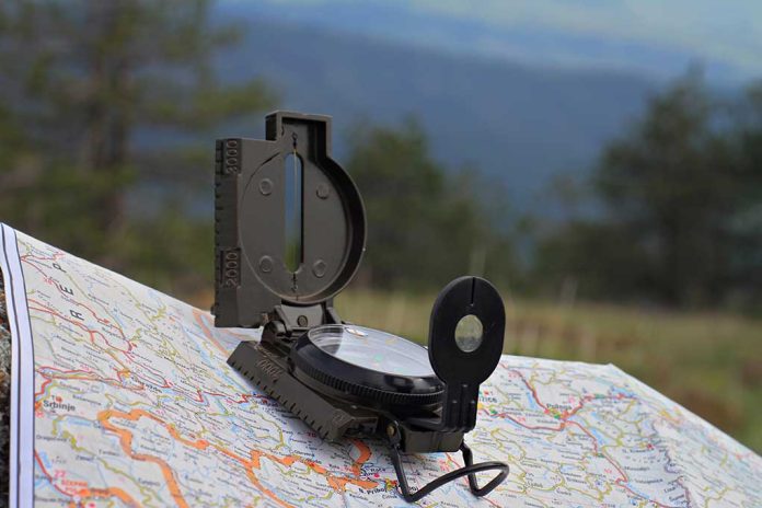
(TacticalNews.com) – Before the technology we have today, people still had to get around. Of course, it’s unlikely that they traveled without knowing at least what direction they were going. The use of maps and compasses often came into play. Just as travelers used these items back in the day, it’s possible we may need to use the same methods to reach our destinations sometime in the future.
The video above does a great job of describing the different parts of a compass and how to use it alongside a map. You can determine how far you are from a destination using the measurements provided on the compass or even in combination with the map’s legend.
The video also helps us know what declination is and how to calculate and apply it to our navigating; remember, true north and magnetic north are not the same. Failure to calibrate your compass will result in a serious misdirection, which means you’ll never reach your destination.
In addition to your map and compass, you can use pace or ranger beads to track how far you’ve traveled. These tools are especially handy when using a map to navigate a region. We’ve been spoiled with GPS technology, but nothing can ever truly replace the knowledge of using maps and compasses. Make sure to know how to use both to keep from getting lost if GPS is no longer an option.
Have you ever had to use a map and compass to navigate? Did you find this article helpful? Reply to your email and let us know, we would love to hear from you!
Copyright 2021, TacticalNews.com


